Drone video · aerial photos · 3D scans · Netherlands, Croatia from 2027
One flight. Film and 3D model.
I film your home, land or site by drone and turn the same footage into a walkable 3D model. It opens in a browser with one link: turn, zoom, measure and share it with anyone.
Walk through my scans
Open one: it runs in your browser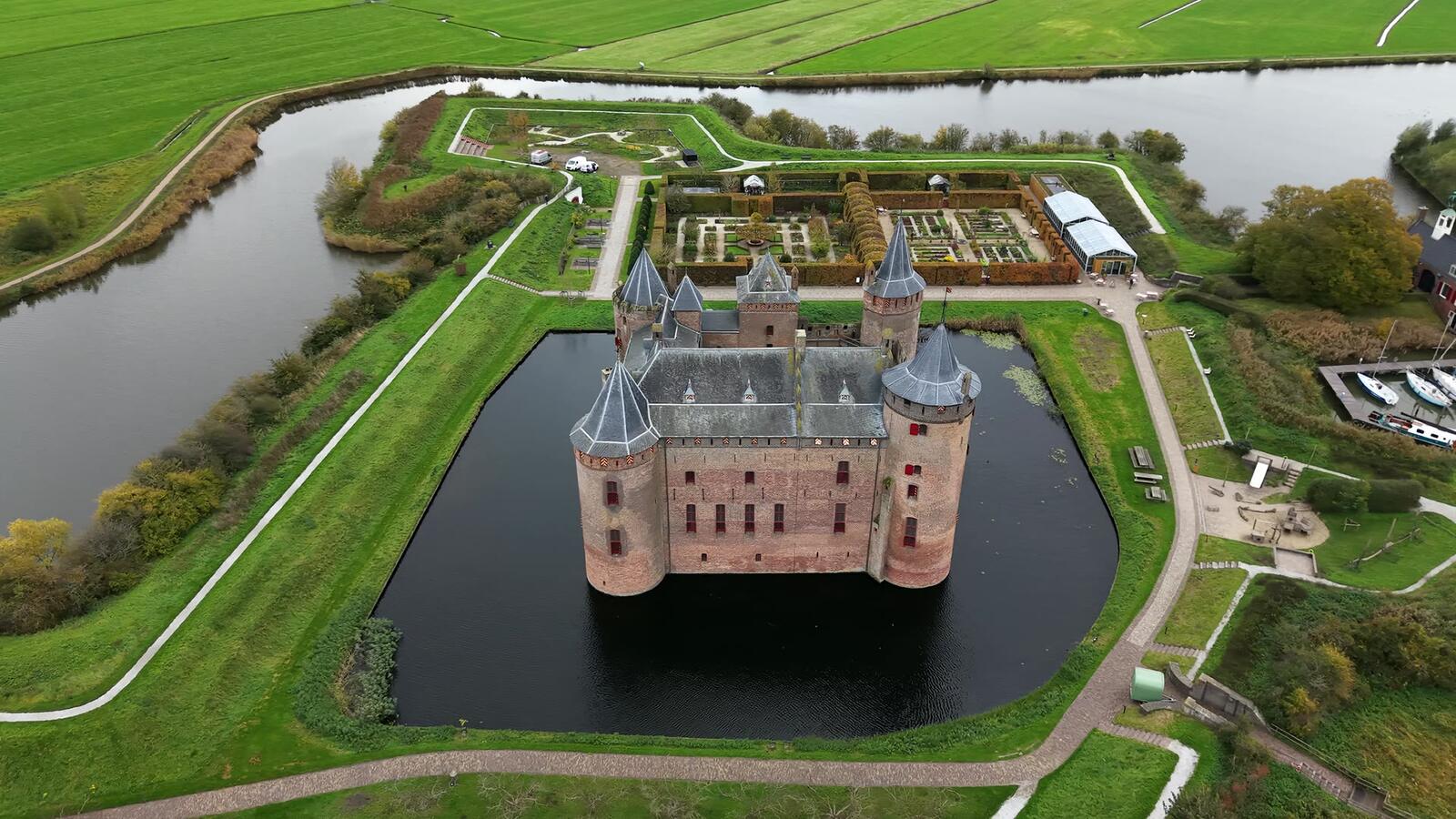 3D scan
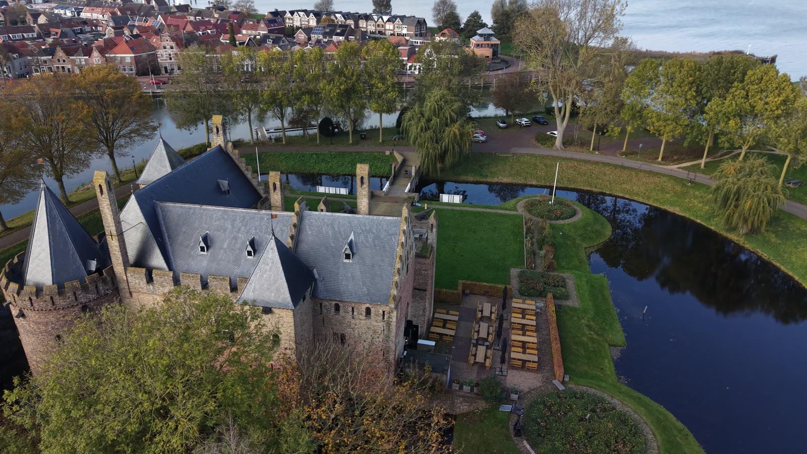
Muiderslot castle
The castle, the moat and the gardens as one model you can walk around. →
 3D scan
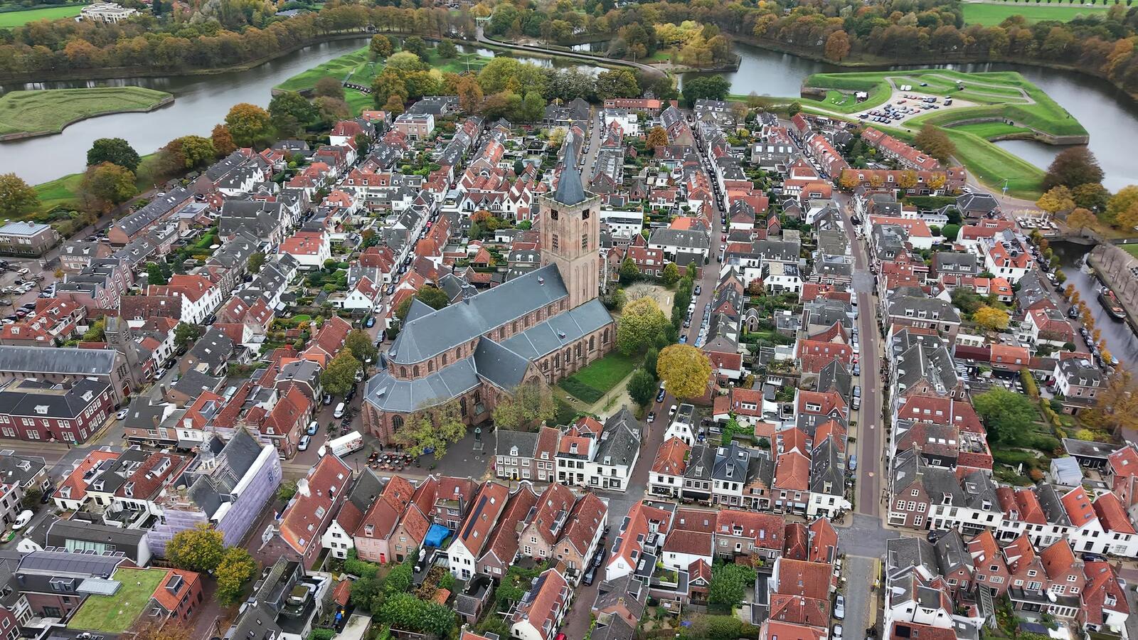
Naarden fortress town
Streets, roofs and the Grote Kerk in the star-shaped fortress. →
 3D scan
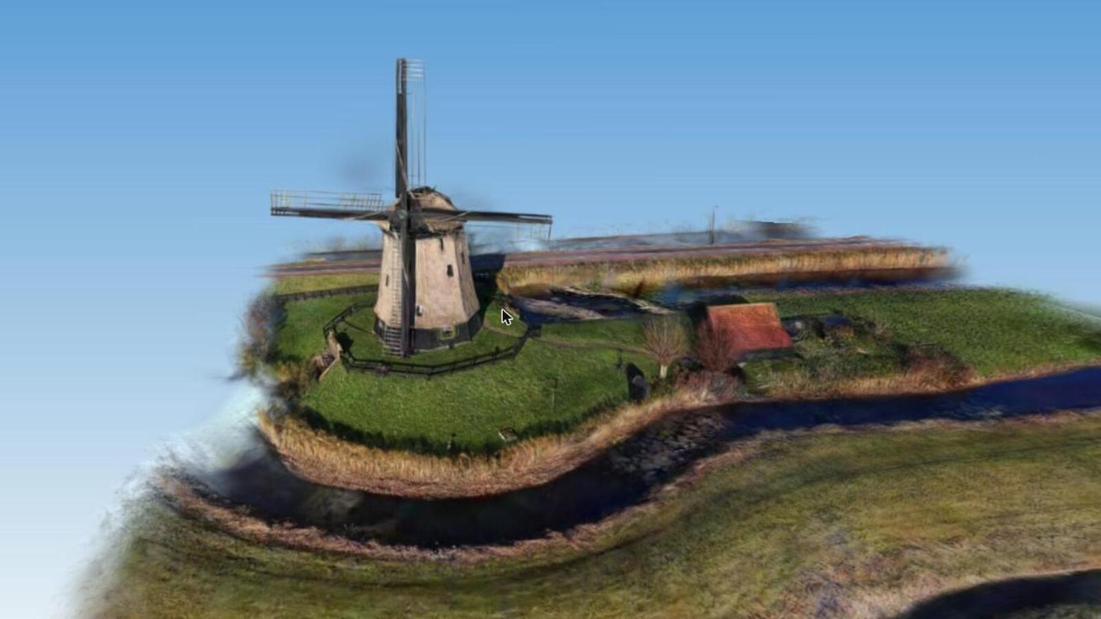
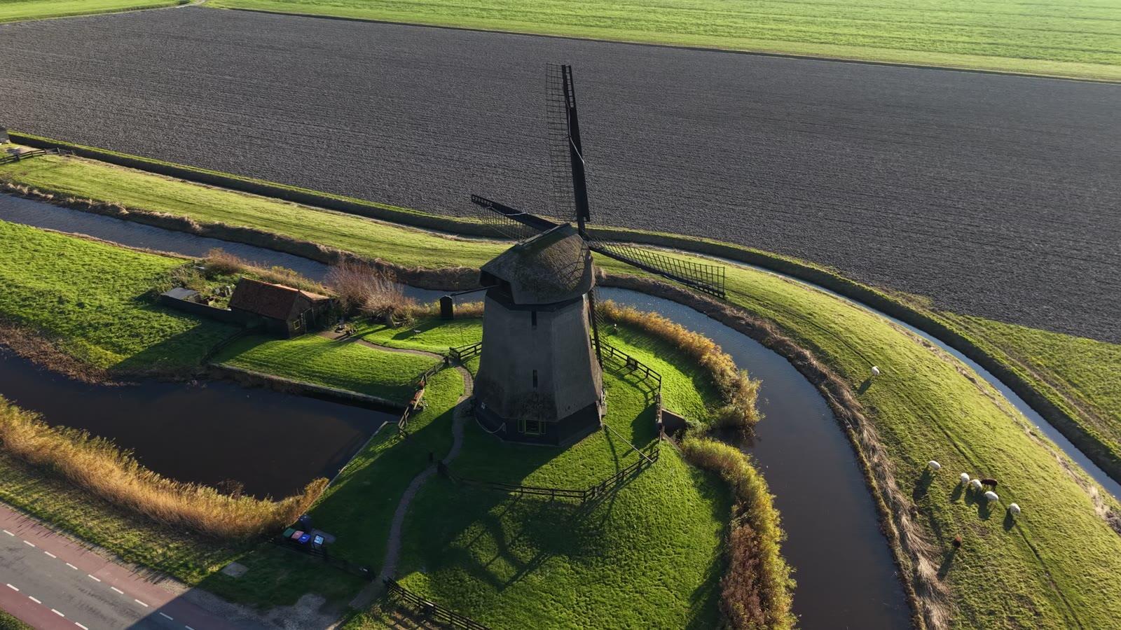
Polder windmill
A working mill with its sails, ditches and dykes. →
 3D scan
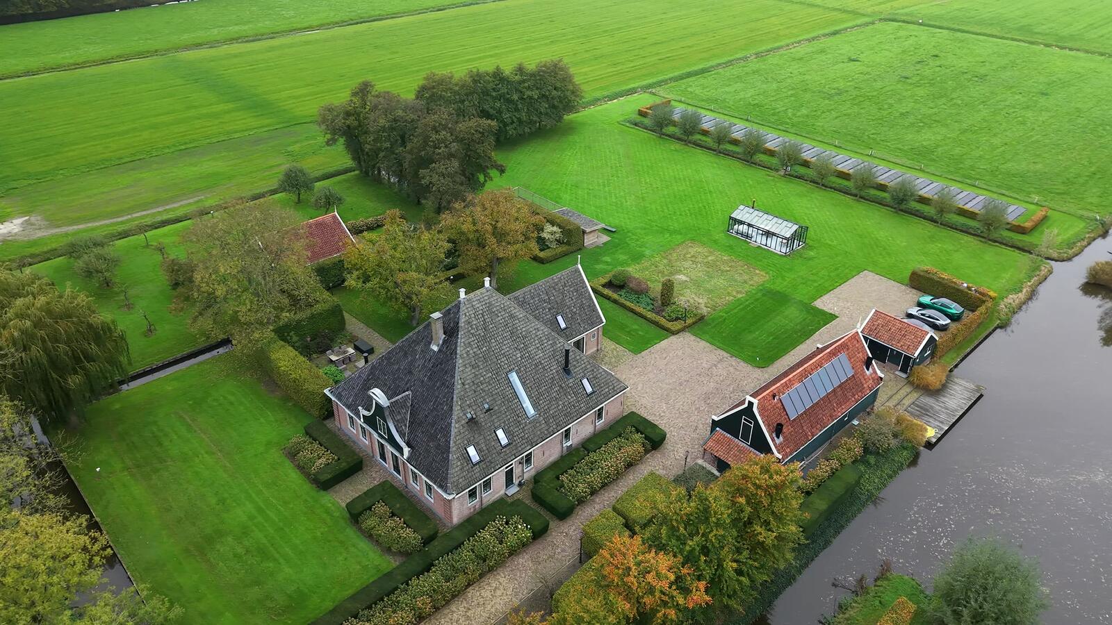
Farm in the Beemster
House, yard, barns and fields: the House & Garden package. →
Who it's for
Homes
Houses with gardens: for selling, for buyers abroad, for the architect or garden designer.
Agriculture
Farms, yards and plots: an up-to-date overview with measurements you take yourself.
Commercial property
Factories, warehouses and building sites. Scan monthly and compare progress without driving there.
Leisure
Holiday parks and campsites: a 3D tour of the grounds for your website and a dated record of their condition.
Heritage
Castles, forts and monuments, recorded as they are today. More on monuments →
Detail scan
A close flight at 5–10 m for roofs, joints and rust, added to any package.
Fixed prices
Excl. 21% VAT · first 40 km includedAdd-ons
Measurements are within a few percent and don't replace a land-registry survey.
How it works
- 1Tell me about the siteAddress, rough size and what it's for. You usually get a fixed price the same day.
- 2Airspace checkI check the location against the official drone maps before I book the flight.
- 3Flight20 to 60 minutes on site. You don't need to be there. Bad weather means a new date, free.
- 4DeliveryA private 3D link, the flythrough video and aerial photos within 3 to 5 working days.
Questions
What is a 3D scan of my land?
A photorealistic 3D model (Gaussian splatting) built on a GPU workstation from the drone footage. Grass, trees, water and roofs look real from every side, and you move around it freely in your browser.
Do I need an app?
No. You get a private link that opens in Chrome, Safari or Edge on a phone, tablet, laptop or VR headset.
Can I measure in the model?
Yes: distances, areas and heights, within a few percent. Enough for a garden design, a fence, an extension or a buying decision, but not a land-registry survey.
Where do you fly?
Mainly Noord-Holland and Flevoland, and anywhere else in the Netherlands where drones may legally fly. From 2027 in Croatia too.
What about the neighbours' privacy?
Neighbouring plots can be cropped or blurred on request.
Can I get it printed?
Yes. Any scan can become a printed scale model for your desk. See 3D Print.
Get a price
Tell me about the site. You get a fixed price.
Location, rough size and what you need it for. Usually answered within one working day, with a proposed flight date.